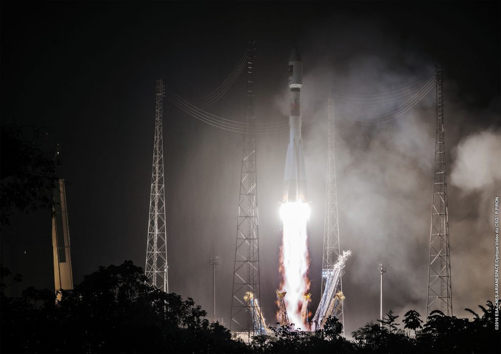
The recent launch of Galileo satellites number 13 and 14 represented another milestone for setting the course of the multi-faceted Galileo programme.
In line with this landmark event, this year is of high importance for Europe as the declaration of the Galileo Initial Services is announced in October. The Initial Services will allow for extended use of Galileo for any type of business that recognises the huge potential of the spaceborne intelligence. This dynamic development displays the driving force with which the first global satellite navigation system (GNSS) for civil use is boosting Europe’s inventiveness. The European Satellite Navigation Competition (ESNC), the largest global GNSS-related innovation network, incorporates selected Special Prizes that are seeking pioneering ideas based on the Initial Services. The according application fields of these services are enormous and are to be exploited, in order to provide society with innovation first-hand.
What Makes Initial Services Unique
The EU-funded Galileo programme is the first civil GNSS worldwide to be confirmed. Its initial capability will allow for the determination of the users’ position in time and space with high accuracy and reliability. Once the complex system is complete, its 24 operational satellites and related ground infrastructure will provide valuable information in regards to navigation, positioning as well as timing services. The uniqueness of this system is the combination of both space and ground services and the exploitation of the respective data sources as synergies. The main objective is to setup the space and ground infrastructure to reach Full Operational Capability in 2020. This exciting Galileo phase is fully funded by the European Union and managed by the European Commission. At the same time, the European Space Agency (ESA) acts as design and procurement agency on behalf of the European Commission.
The Galileo Initial Services’ setup comprises manifold services including: Open Service (OS), Public Regulated Service (PRS), and Commercial Service (CS). In addition, the Initial Services contribute to the Search and Rescue Service (SAR) of the COSPAS-SARSAT system and provide support to integrity monitoring services by means of Galileo OS signals.
Application Segments and High Market Potential
As the global data volume continues to grow exponentially – and thereby characterises the reality of our society – location-based information matters now more than ever before. By 2019 the number of GNSS devices used around the globe is forecasted to reach more than seven billion by the GNSS Market Report. The current GNSS market segments cover myriads of applications, including location-based services, aviation, maritime as well as timing and synchronisation. As GNSS is used in the rapidly evolving environment of macro trends, such as smart cities, big data, multimodal logistics and the Internet of Things (IoT), more and more respective application fields are to come in the near future. By 2022, the European Commission estimates the global GNSS market size to be approximately EUR 250 billion annually. According to the European Commission, about six to seven percent of the EU economy depend on satellite navigation signals nowadays. These sheer numbers give a good impression of how huge the GNSS market potential really is.
This market potential continues to increase, as it is aimed to combine as many extension options and systems as possible. An excellent example is the European Geostationary Navigation Overlay Service (EGNOS). It is Europe’s first venture into satellite navigation which improves the open public service offered by the USA’s GPS. Thereby EGNOS makes GPS suitable for safety critical applications, by providing correction and integrity information about the GPS system. EGNOS based approach procedures are already used by more than 135 airports throughout Europe. EGNOS functions as an additional service to GPS and enhances the accuracy of positioning data to enable the highest safety standards possible.
GNSS of Things Driving IoT’s Success
As the Internet of Things (IoT) represents the integration of uniquely identifiable devices on the internet, it is one of the major contemporary technology topics worldwide. The fascinating aspect about the IoT’s development is that GNSS is substantial to its success. In order to be able to control mobile IoT devices and enable their respective monitoring, location based services and timing data, provided by satellite systems, are crucial for innovative and efficient IoT applications. As rapidly as the IoT is developing and changing, the demand for the ability of fast prototyping of applications and technology is highly increasing. As open source services and platforms rely on extremely precise, up-to-date and continuous data over long periods of time, in brief GNSS information, we speak about the “GNSS of Things” being a driver of innovation and development of the IoT.
KYNEO: First Platform for the GNSS of Things
The very first “open-source innovation platform for the GNSS of Things”, as the KYNEO founder and GSA Special Prize winner 2015 Rafael Olmedo refers to it, is a revolutionary device that satisfies the demand for the capability of fast prototyping of applications and devices in the vast developing area of the IoT. Multiple different products and services are seeking similar positioning which is adaptable in a flexible way and in various contexts. KYNEO is a single, open-source based device that incorporates a complete set of navigation and motion sensors, data-recording capability, and the possibility to connect external sensors or the most popular wireless communication modules. It is a useful tool for developers and an advanced GNSS module integrated into KYNEO also makes use of European satellite navigation technologies, which makes GALILEO and EGNOS accessible to developers and non-expert users. KYNEO is incubated in the recently opened ESA Business Incubation Centre Madrid.
HALI Improves Traffic Safety and Efficiency
Next to IoT-related topics, GNSS applications are becoming more and more important regarding mobility and transport, especially in terms of benefiting from Galileo PRS. Traffic lights are just as important as they can be annoying. In cases of emergency they are essential as every second can save lives. The ESNC BMVI Special Prize winner 2015 HALI tackles this nagging issue. It is HALI’s aim to provide a reliable and tamper-proof position determination that enables emergency vehicles phased traffic lights. This service allows getting through traffic rapidly and safely to the according operation site. HALI has been acquired in the Oulu region and it is expanding in Finland as an open system for the authorities. It has the potential of becoming a standard function on a large scale as it is very effective, easy to implement, and very cost-efficient.
Head Start with Galileo Initial Services for Three ESNC Special Prizes As the declaration of Initial Services is such a pathbreaking development for Europe, the ESNC dedicates three Special Prizes to its manifold application opportunities.
The GSA Special Prize is seeking groundbreaking ideas that leverage applications using the Galileo Initial Services in the most innovative way, to create benefits for users and society. Submitted ideas should integrate the core GNSS asset in terms of positioning. In addition, the submission should be technically operative and address the market potential. The winners have the opportunity to develop their idea at a suitable incubation centre of their choice within the EU28 for at least six months, as well as to showcase their idea at the official Galileo Service Declaration Ceremony in Brussels.
The DLR Special Prize is in search of innovative ideas and solutions that are technical and application oriented. Its goal is to make the maximum benefit available to the user community and thereby also trigger new GNSS types and application fields. The winner will be supported in realising the idea with a voucher for five man-months of DLR bespoke services to aid in the further development of their idea, including technical support for research activities, access to testing and simulation facilities, expert advice, and feasibility or concept studies.
The BMVI Special Prize is looking for bright and inspiring solutions that specifically integrate the Galileo PRS and provide a substantial – and in the best case unique added value – to society. This year’s Special Prize aims to stimulate pilot applications in multiple areas, such as reliable support and safety-critical applications, enhanced protection of data privacy as well as remote authentication. The winner will receive a voucher for EUR 5,000 to support the further development of the idea and enjoy the benefit of having the German government promote their idea.
There are countless ways of using satellite navigation in everyday life – what’s yours? Submit your GNSS-based service, product, or business innovation and get your business off the ground! Fantastic prizes are awaiting you and your startup.
The European Satellite Navigation Competition (ESNC)
The ESNC’s annual search for new services, products, and business innovations is designed to encourage the use of satellite navigation in everyday life. Over the past decade, it has evolved into the leading innovation competition comprising partner regions worldwide, the largest space-related incubation network and the most relevant European GNSS stakeholders. Submission is possible each year from 1 April – 30 June at www.esnc.eu
JOIN THE INNOVATION NETWORK AND SUBMIT YOUR PIONEERING IDEA FOR THE ESNC!