The growing threat of global warming and associated temperature anomalies is increasingly affecting the lives of us all. The ever increasing numbers of heat waves haunt the cities of Europe during the summer, bringing a noticeable increase in mortality, particularly within the older population.
A team from the promising company Blue Dot Solutions in Poland started to fight against this problem by launching a project named TILQ (Temperature Indexes of Life Quality). They are convinced that this is the project needed to measure the consequences of increased temperature and provide precise information to urban planners to reduce the heat risk in cities. Their application is a great example of how remote sensing can create and support sustainable living.
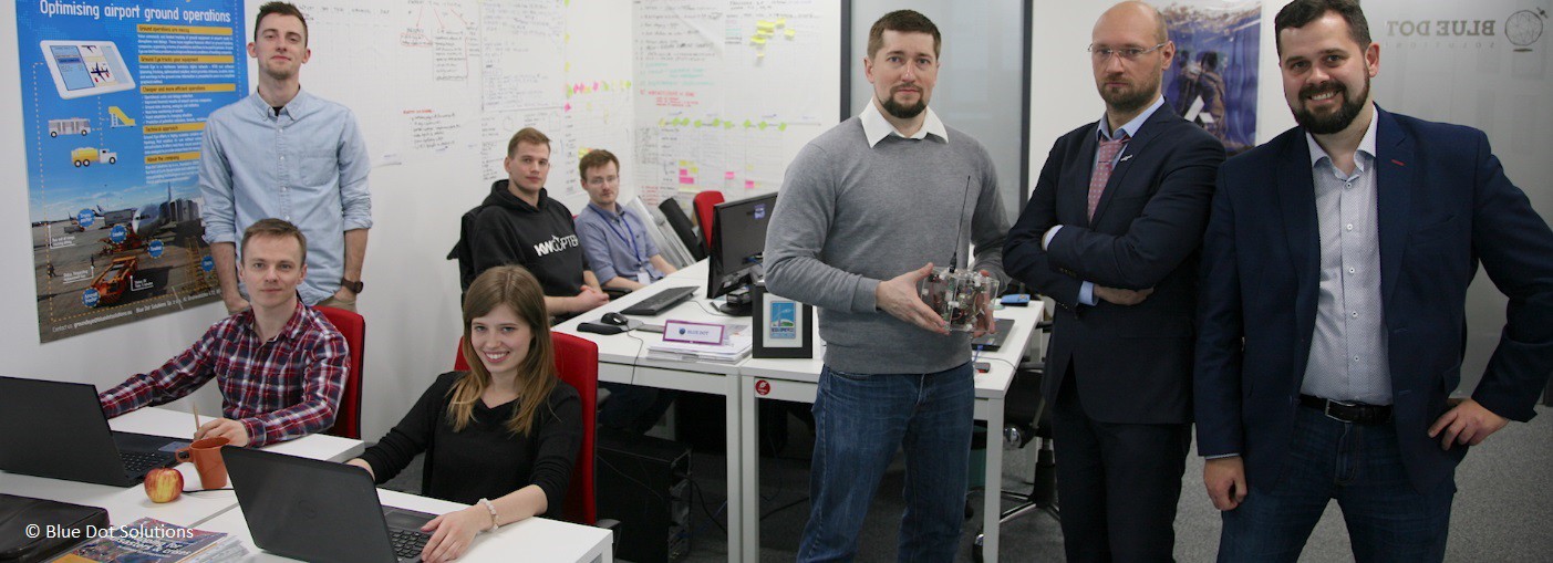
The basic functionality of TILQ is based on an idea defined by Szymon Molinski, a former member of Blue Dot Solutions. He submitted it to the Copernicus Masters “Sustainable Living Challenge” via the Satellite Applications Catapult in the 2016 edition of the competition. As one of the finalists, he gained access to the Copernicus Accelerator, the unique coaching programme for the best Copernicus Masters entrants. Currently, a team of five people work on the project: Adam Piech, Paweł Klepadło-Godlewski, Mateusz Olszewski, Krzysztof Kanawka and Michał Moroz. Despite having different backgrounds in Earth observation (EO) – remote sensing, satellite navigation, modelling, and data processing and management – they are united by their aim of contributing to a better and healthier future. Their Copernicus Accelerator mentor, Professor Jose Sobrino from the University of Valencia, supports them particularly in the range of satellite image processing. The support he provides the team is crucial for refining the algorithmic layer of the planned TILQ solution.
Predicting temperature anomalies with Earth observation data
Temperature Indexes of Life Quality (TILQ) is a solution that intends to enable large urban agglomerations to effectively predict and counter the effects of heat waves, especially when those anomalies persist for longer periods of time. In order to solve this issue, it is necessary to define not only the capacity of urban services to respond to such threats, for example through mobile aid points, but also to identify areas where the impact of elevated temperatures will be more intense than in other parts of the city. Such areas, Urban Heat Islands (UHIs), are a result of geospatial urban development and the production materials used. They can significantly contribute to the deterioration of quality of life in a given area and, in extreme cases, can lead to death, especially among the elderly.
The major problem associated with the urban temperature index is the difficulty in predicting the impact of temperature anomalies because of the spatial complexity of urban areas, which are not uniform and could contain both green areas and buildings. Both possess varied characteristics that can affect air circulation and local changes in air temperature. Therefore, proper modelling of an entire urbanised area requires that the conditions of each of its districts (or even smaller-scale elements) must be determined. However, the thermal emissivity of the entire urban area can be determined by the use of modern satellite techniques, in particular observations in high resolution and within infrared channels available through new EO satellites. The obtained data make it possible to develop a surface temperature map.
The subsequent processing, however, involves some analytical issues that the TILQ team is currently trying to solve. In particular, there is a problem in determining the correct difference between the surface temperature and the air temperature. An extreme example of such a difference can be seen within roads – the temperature of asphalt roads and air temperature can often exceed 20 degrees celsius.
TILQ’s ability to predict temperature anomalies should provide the knowledge needed to forecast the degree of threat from heat waves and their potential health consequences. TILQ could also be used to estimate potential urban areas where modernisation measures may be required to reduce the local air temperature – either by changing construction materials or introducing new urban green areas. As the anomalous temperatures also affect the consumption of electricity, for example through a growing use of air conditioning systems, TILQ would also be able to indicate where the increase in electricity consumption can be expected and thus better predict the city’s energy needs.
The team is currently working on developing the basic elements for efficient and accurate processing and visualising of the provided data to prepare the architecture for the finished version of the application.
A few words from the Copernicus Accelerator Mentor:
Cities are hotspots of climate change due to the increasing frequency and intensity of extreme heat and the rapidly growing urban population that are mutually reinforcing trends. The well-documented phenomenon of the urban heat island (UHI) effect refers to cities being warmer than their rural surroundings because of the built environment absorbing, retaining, and/or producing more heat than the natural landscape it replaces. Increasing urban heat presents a significant health risk for the growing population of cities, and the related heat stress is likely to escalate with the increased future temperatures projected by climate models. As urban heat islands pose an additional risk to urban inhabitants, spatial heat risk assessments are needed worldwide to identify the most vulnerable segments of the urban population. Excessive heat negatively not only influences human health, including increasing mortality rates due to heat stress and more frequent insomnia during hot nights, but also has an impact on the urban metabolism as well.
When I met the team from Blue Dot Solutions at the boot camp in Madrid back in October 2016, I was captivated by their determination and enthusiasm. Their project TILQ (Temperature Indexes of Life Quality) is the project needed to measure the consequences of increased temperature and provide precise information to urban planners to reduce heat risk in the city. This is one of the applications that remote sensing can offer to help our lives.
The problem is not an easy one and there are still many challenges ahead, but I am convinced that we are moving in the right direction. We are working together to solve the drawbacks, but the important thing is that the population that lives in urban areas and will increase from 54% at present to 66% by 2050 could benefit greatly from our efforts.
José A. Sobrino
Scientific Supervisor
Blue Dot Solutions Team
Professor at the University of Valencia (Spain)
President of the Spanish Association of Remote Sensing
Do you want to write your own chapter of the Copernicus Masters success story? Then go ahead and sign up now for the 2017 edition until 30 June to turn your idea into business, just like the Blue Dot Solutions team did.
About the Copernicus Masters and the Copernicus Accelerator
AZO has launched the Copernicus Masters in 2011 on behalf of the European Space Agency (ESA) and with strong support of world-class partners as part of their mission to foster the User Uptake of Copernicus services. The Copernicus Masters is an international competition which awards prizes to innovative solutions for business and society based on Earth observation data. The Copernicus Masters has developed into the moving force of promoting cutting-edge solutions. In 2016, the European Commission has launched Copernicus Accelerator. This one-of-a-kind programme is focused on providing a tailored business coaching service for up to 50 finalists in the Copernicus Masters competition. Sign up now for the Copernicus Masters 2017 until 30 June.